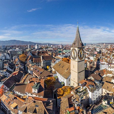
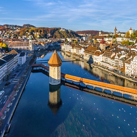
Lauterbrunnen. The valley of waterfalls and mountain peaks. Switzerland
Above the sceneries of Switzerland: the valley of waterfalls and mountain peaks
Switzerland is not among the biggest countries in the world. With the territory of 41,000 km², it is only 132nd out of 193 world's countries by area. But this limited land space has an incredible number of historical, architectural and natural monuments. We can endlessly talk about them, so today our virtual tour is dedicated to a small but extremely picturesque corner of this land, Lauterbrunnen Valley in the canton of Bern.

There is no exact translation of this name. The records show that at the beginning of the 13th century this area was named in claro fonte meaning "clear spring" — that's how Ancient Romans defined it. Later this valley was known by the name Liuterbrunnon or Luterbrunnen. The scientists see here the German words for "clear" or "loud", "spring" or "fountain". All these words can describe the valley of Lauterbrunnen with its magnificent waterfalls.

The landscape was formed over the millennia by the actions of glaciers: by regressing 20-200 meters per year, they carried a huge amount of rocks and boulders. The mighty power of nature has created the current look of the valley, filled it with wild rivers and shielded with sharp cliffs.

Waterfalls are another evidence of the ancient geological processes. There are 72 of them in Lauterbrunnen, and one of the highest waterfalls in Switzerland, Schmadribach Falls, is among them.

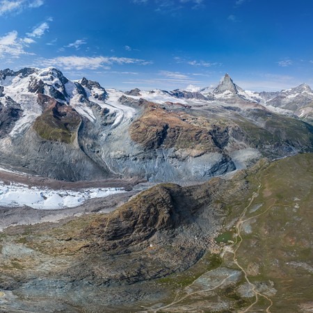
To the east of the valley, there is the famous summit of Switzerland, the Jungfrau, rising above Lauterbrunnen at 3,250 meters. It is the most extensive mountain slope in the Alps after Montblanc. The overall elevation above sea level is 4,158 meters making it the third highest mountain in the Bernese Alps.

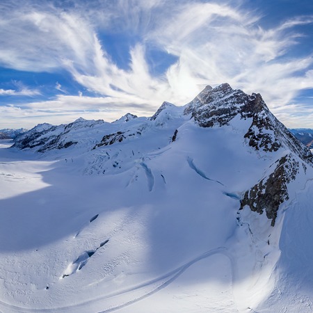
On the pass connecting the Jungfrau and the neighbouring summit, the Mönch, there is the terminal station of the Jungfrau Railway, the highest railway station in Europe elevating at 3,454 meters. The Sphinx Observatory was created here as the proximity to the sky and the absence of light pollution provide the perfect conditions for stellar observations. Just next to the Sphinx, there is an observation point that offers a stunning view of the alpine landscapes and glaciers.

The next summit in the continuing range of the Bernese Alps is the Eiger elevating at 3,970 meters. Together with the Mönch and the Jungfrau, it forms the emblematic mountain trio. It has a pyramidal shape and partially covered by a glacier. At the foot of its north face, there is Jungfrau-Aletsch-Bietschhorn (Jungfrau-Aletsch protected area) inscribed by UNESCO as a World Heritage Site.

The Bernese Alps are extremely popular among mountaineers. The first ascent of the Jungfrau was made in 1811, the summit of the Eiger was first reached in 1858. The ascent is an extremely challenging and dangerous adventure, but everything that mountaineers saw during their expeditions we can see in this virtual journey by AirPano.
Video by Stanislav Sedov and Sergey Semenov. Photos by Sergey Semenov. Stitching by Ivan Roslyakov
30 December 2020
Read more
 Sphinx Observatory
 Jungfrau Plateau
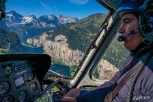 Flight over Lauterbrunnen
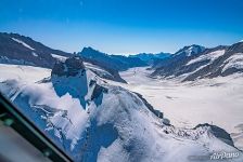 Sphinx Observatory
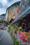 Lauterbrunnen
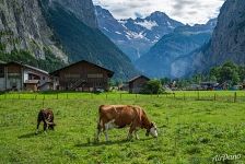 Alpine cows
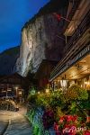 Lauterbrunnen in the evening
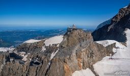 Sphinx Observatory
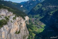 Lauterbrunnen
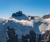 Sphinx Observatory
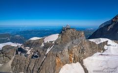 Sphinx Observatory
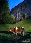 Cow in the Lauterbrunnen, the valley of waterfalls
Virtual Travels in 360°
 Moscow, Gigapixel Panorama
 Paraty, Brazil
 Cote d'Azur. Villefranche-sur-Mer, Ile d'Or and Saint-Jean-Cap-Ferrat
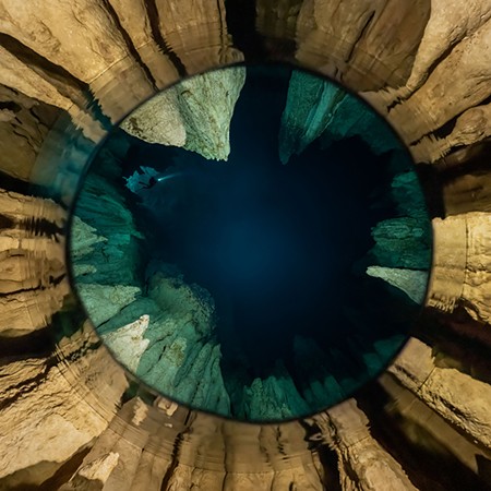 Chandelier cave, Palau
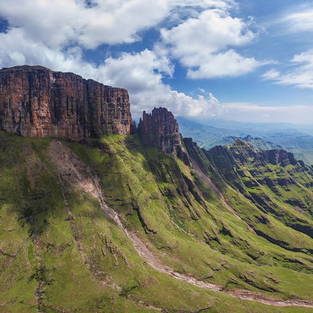 The Drakensberg - Dragon Mountains, South Africa
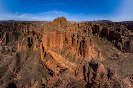 Binggou Danxia Geopark, China
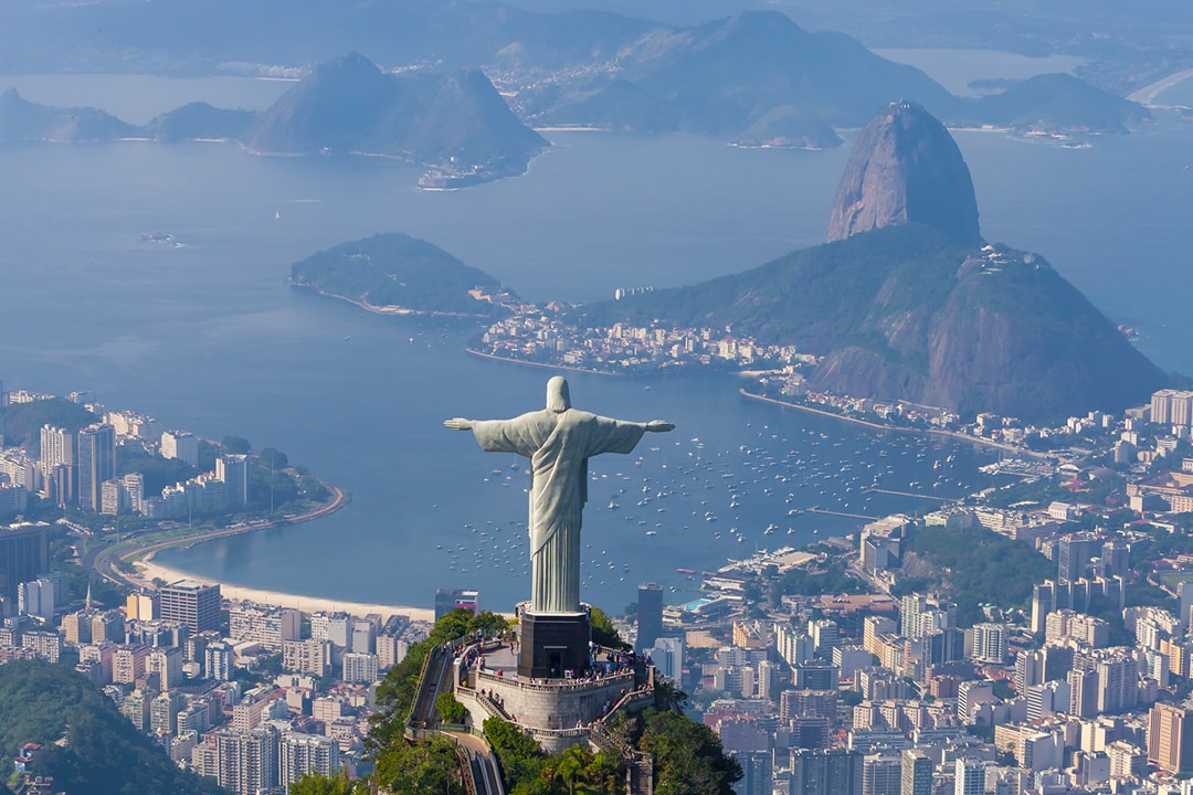 Rio de Janeiro. The Marvelous City
 Icebergs of Greenland. Part I
 Sahara Desert, Algeria
 Moscow Kremlin, Russia
 San Francisco, CA, USA
Show more

